
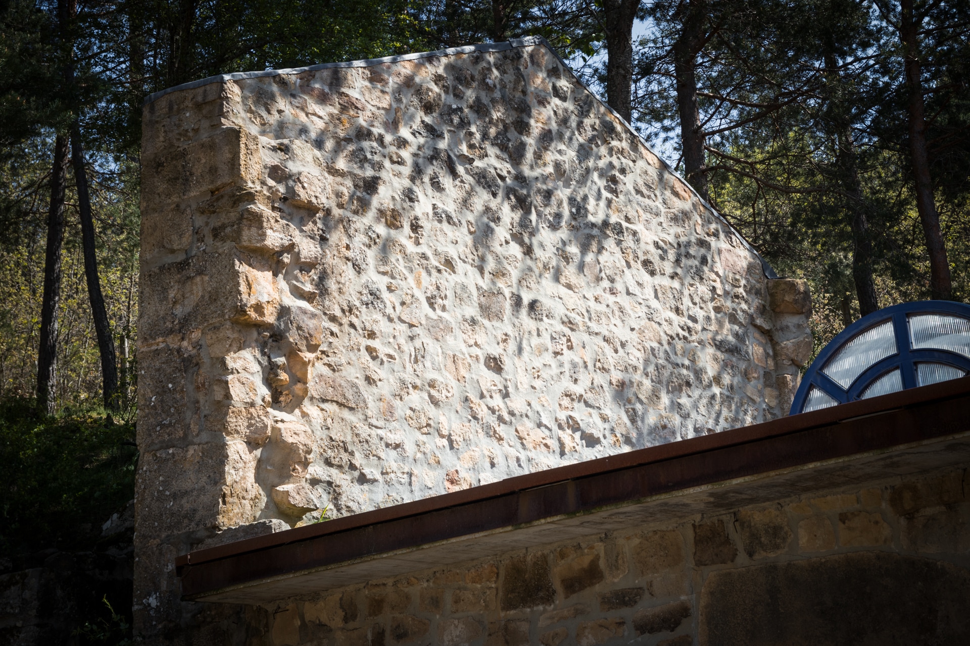
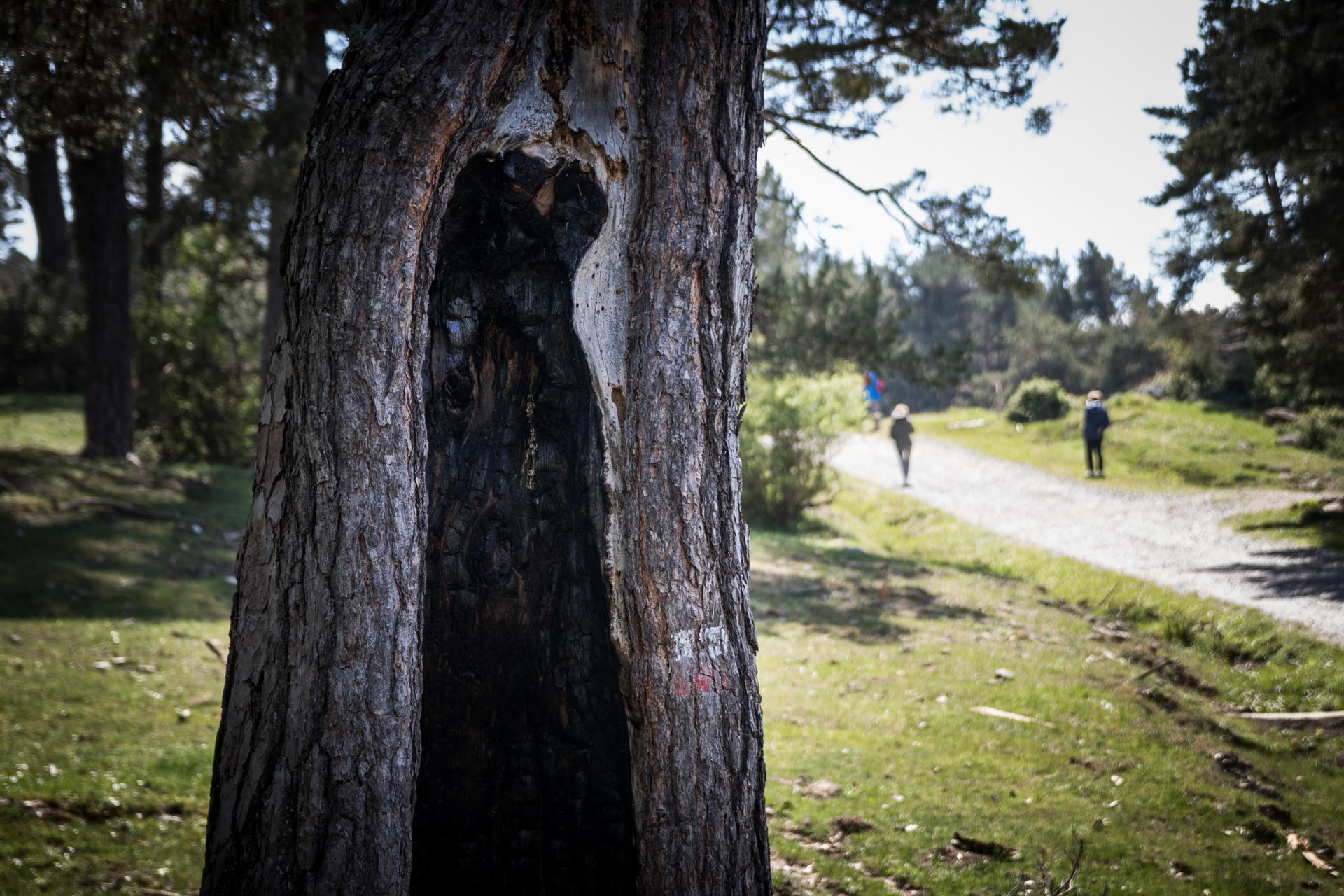
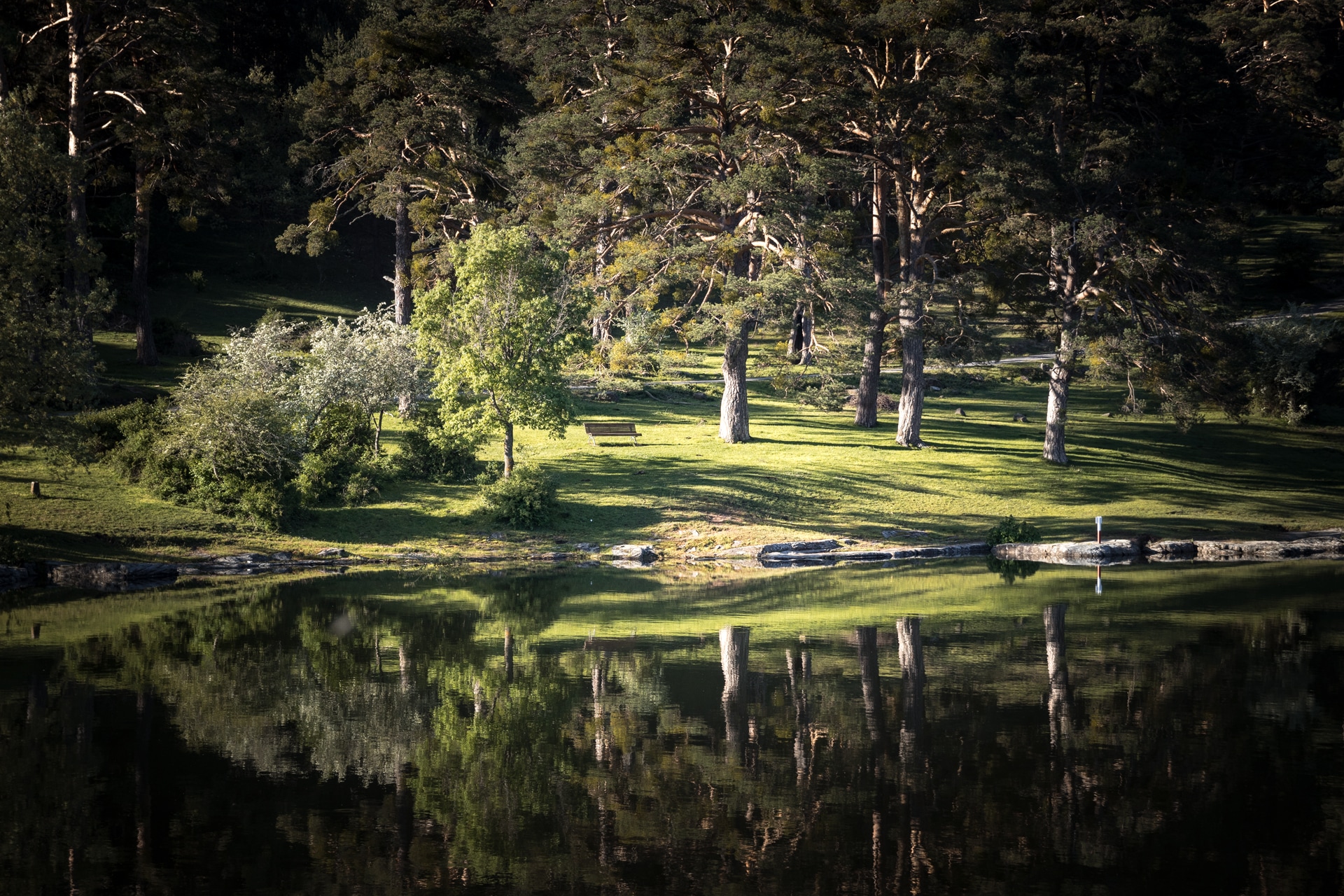
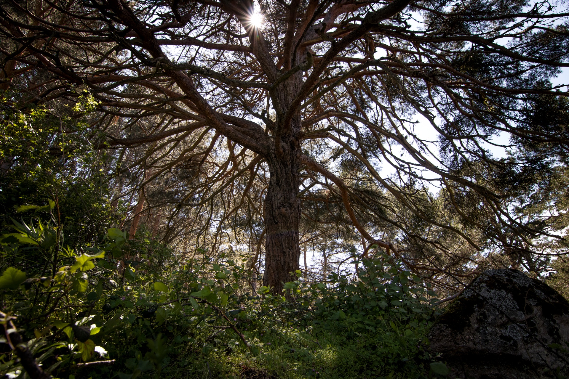
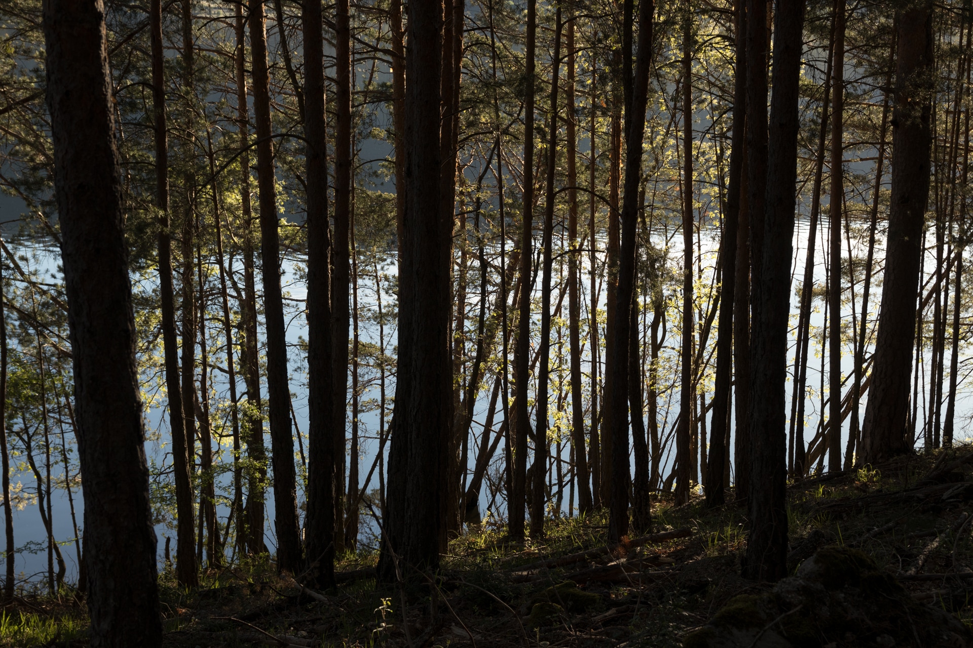
Nestled in a landscape of spectacular beauty, the Ermita de San Mateo (Hermitage of Saint Matthew) is surrounded by centuries-old pine trees on all four sides. It is a simple rectangular-plan building with a hip roof revealing the modesty of this small sanctuary among the large Scots pines. Twisted trunks, some of them hollow due to the passage of time and woodworm, surround this area of dense forest to the south of the village, backed by the nearby waters of the reservoir.
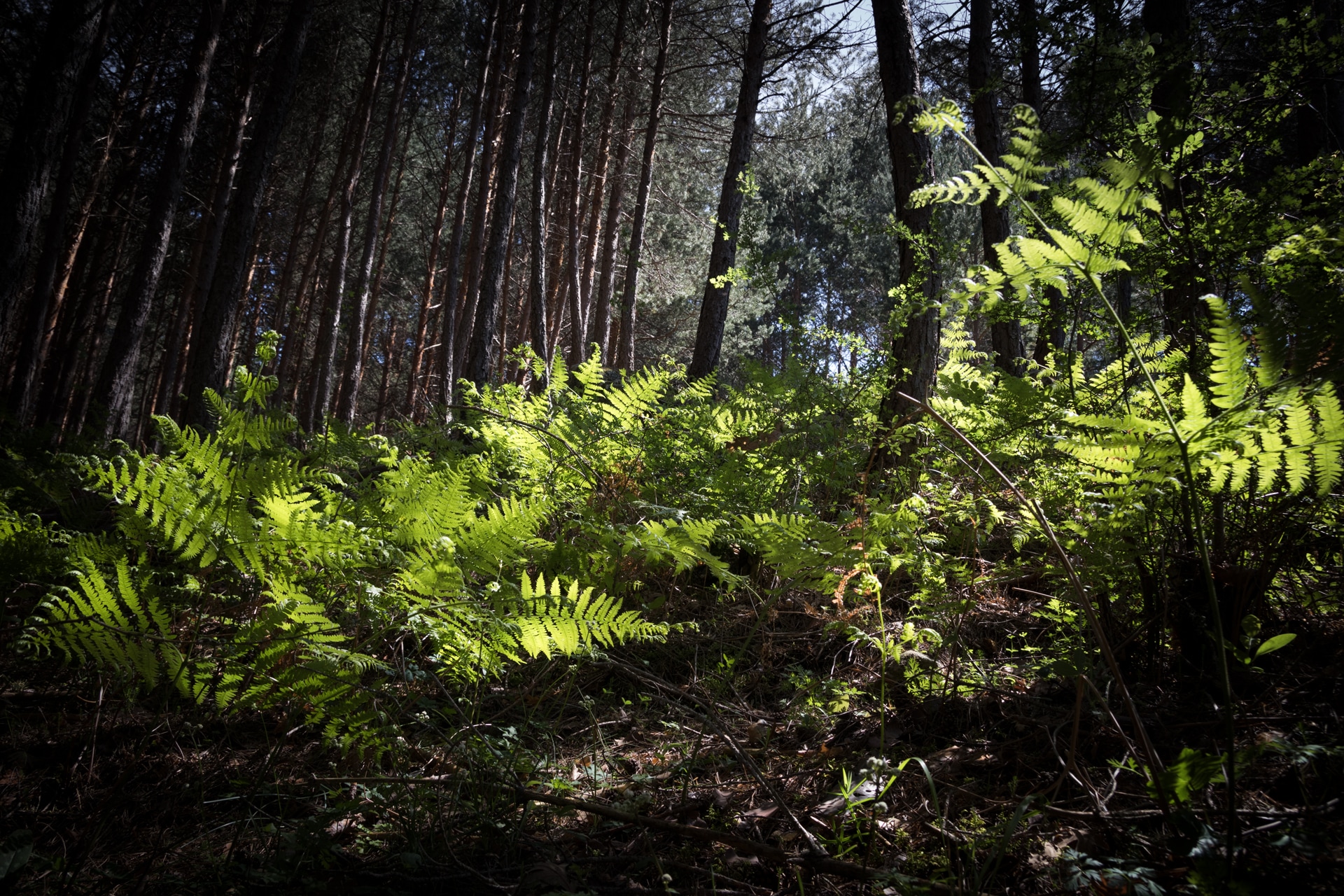
An echo of birds and soft grass make up this setting in the Vallilengua or San Mateo pine forest, which every 21 of September it celebrates autumn by holding a traditional pilgrimage. Dotted with the odd oak tree, the pine forest is crossed by the old road to the Roman village of Visontium, now Vinuesa. A secondary thoroughfare of the important Asturica-Caesaragusta, the path linked the area with Uxama and Numancia, before entering Burgos on the right bank of the river.
Three to four kilometres of it, preserved to a certain degree, criss-cross the village, including some metres excavated in bedrock and in good condition. Some milestones and signs indicate the distance of the road, and, close to the neighbouring village of Molinos de Duero, the ‘Written Stone’, dating from the 2nd century, reveals the following inscription: “HANC VIAM AVG. L (ucius) LUCRET (ius) DENSUS II VIR. V. M. FECIT. Which is to say: “The second vir Lucius Lucretius Denso had this Vía Augusta road made”.
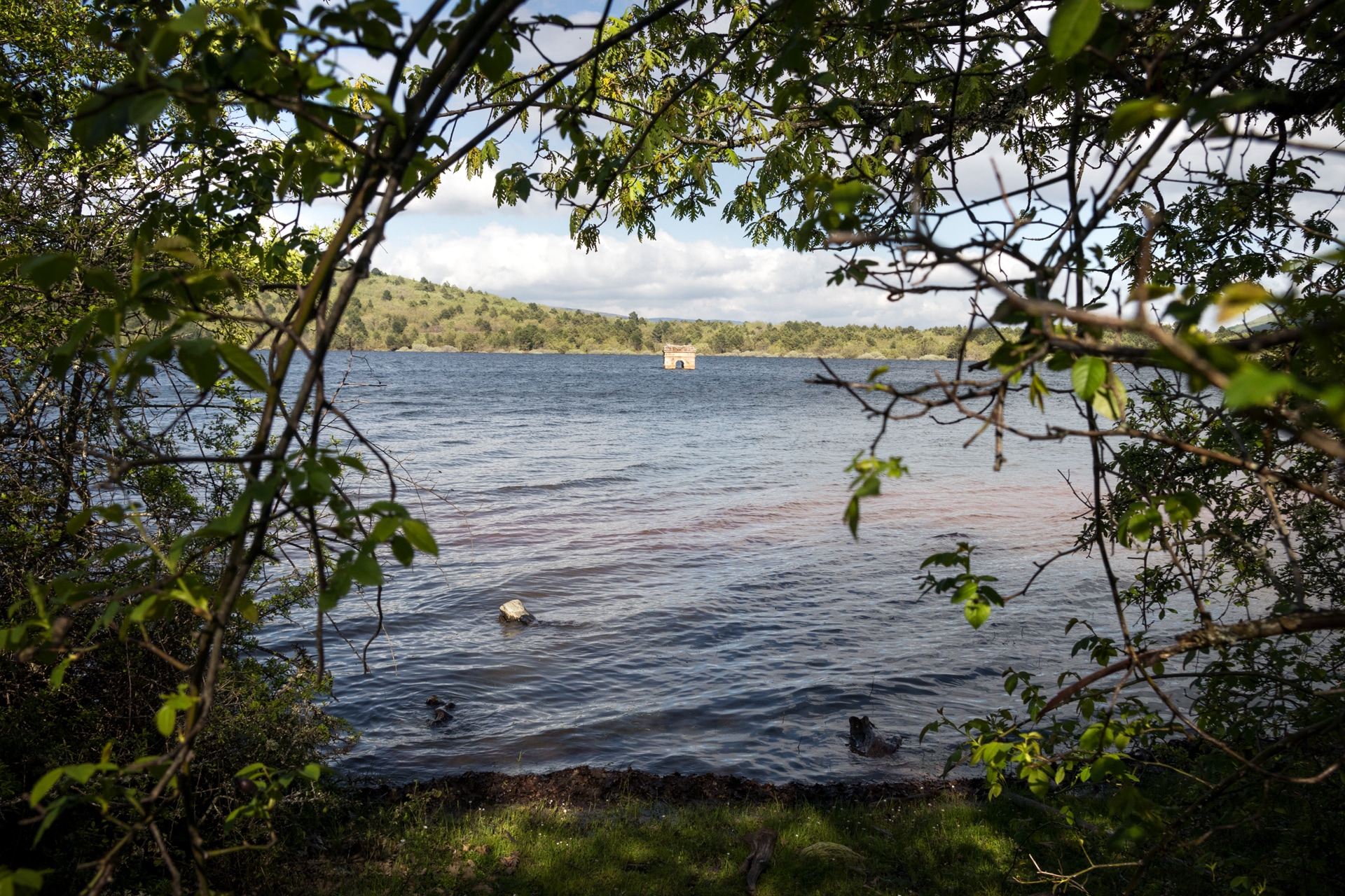
Its extension to the Sierra de Urbión mountain range is explained by the existence of a path with open steps in the rocks used to cross the Santa Inés mountain pass. When passing by the Cameros and Las Viniegras mountain ranges, this road takes the opposite side of the Najerilla river until it flows into the Ebro river. The road used to cross the Duero river at the so-called San Mateo bridge. Nowadays, covered by the waters of the Cuerda del Pozo reservoir, the old bridge still keeps some ashlar stones and foundations from that time, although its current appearance with its leaned contour, broken plan and pointed arches is clearly medieval.

Formed by seven arches (three of which are semi-circular arches with barrel vaults, while the other four are pointed) which are supported upstream on cutwaters and downstream on buttresses which disappear between the fifth and sixth arch, where they are replaced by a large natural rock. It is the best bridge with these features in the province of Soria, since it has a unique foundation in a broken line over the existing rocks which acts as previous foundations. It is also the only bridge with a complete section of its panel, and one of the few which acted as a passage to a Roman road. From time to time, it is possible to make out its stone profile above the water, when the drought lowers the level of the reservoir enough.
Five kilometres away from Vinuesa, at the tail end of this reservoir that winds through the village, the settlement of La Muedra resists the onslaught of time and water. It was flooded in 1941 and, like the Roman bridge, the remains of that village that once counted 261 souls sometimes appear above the scarce waters. Its church tower stands out on the reservoir’s surface to deny oblivion. If the water level is high, it is not unusual to see small boats near the old bell tower and, in drier summers, it is even possible to wander around its ruined houses and cracked soil.
It is said that, in the 19th century, a blind woman who recovered her sight lived here; that many of those who were born in it had to go to the Americas (and some of them founded a society of supportive children) and that in 1931 its migrants to Argentina donated to the village a new mausoleum in the new cemetery, the only construction that was not flooded by the reservoir.
It is also claimed that the pleas and reports to stop the reservoir works were completely useless. On 30 September 1936, the last thirty residents who remained in the village had to permanently close the doors of their houses and abandon them forever to their amniotic fate. A dam of 425 metres and a maximum height of 41 metres changed the landscape of the region, and, ever since, La Muedra has been cradled in a sway of short, soft waves that muffle the sounds of a belfry without bells.

But other itineraries and stories run from side to side through San Mateo. Among them, the Cañada real Galiana (the Galiana royal cattle track), one of the cattle routes in the Castilian-Extremaduran axis, which follows the transhumance routes through a past marked by the sale of wool, the carts and the powerful Mesta association. This cattle thoroughfare is special for several reasons: the first one being its northeast-southeast orientation, which makes it intersect with other important cattle tracks such as the Leonesa Oriental and the Vía de la Plata. The second one, because it links three World Heritage Towns (Segovia, Ávila and Cáceres), and stretches for more than 727 kilometres, of which more than 20 run along visontino territory.
In addition to this cattle track, the entire area is filled with short-distance trails, which, with their white and yellow signs, join circular paths through some of the most fertile and beautiful spots of the local geography. Also running here is the GR 86, the Sendero Ibérico Soriano de Gran Recorrido (the Soria Long-distance Iberian Trail) which dots this leg linking Vinuesa and Covaleda with red and white.
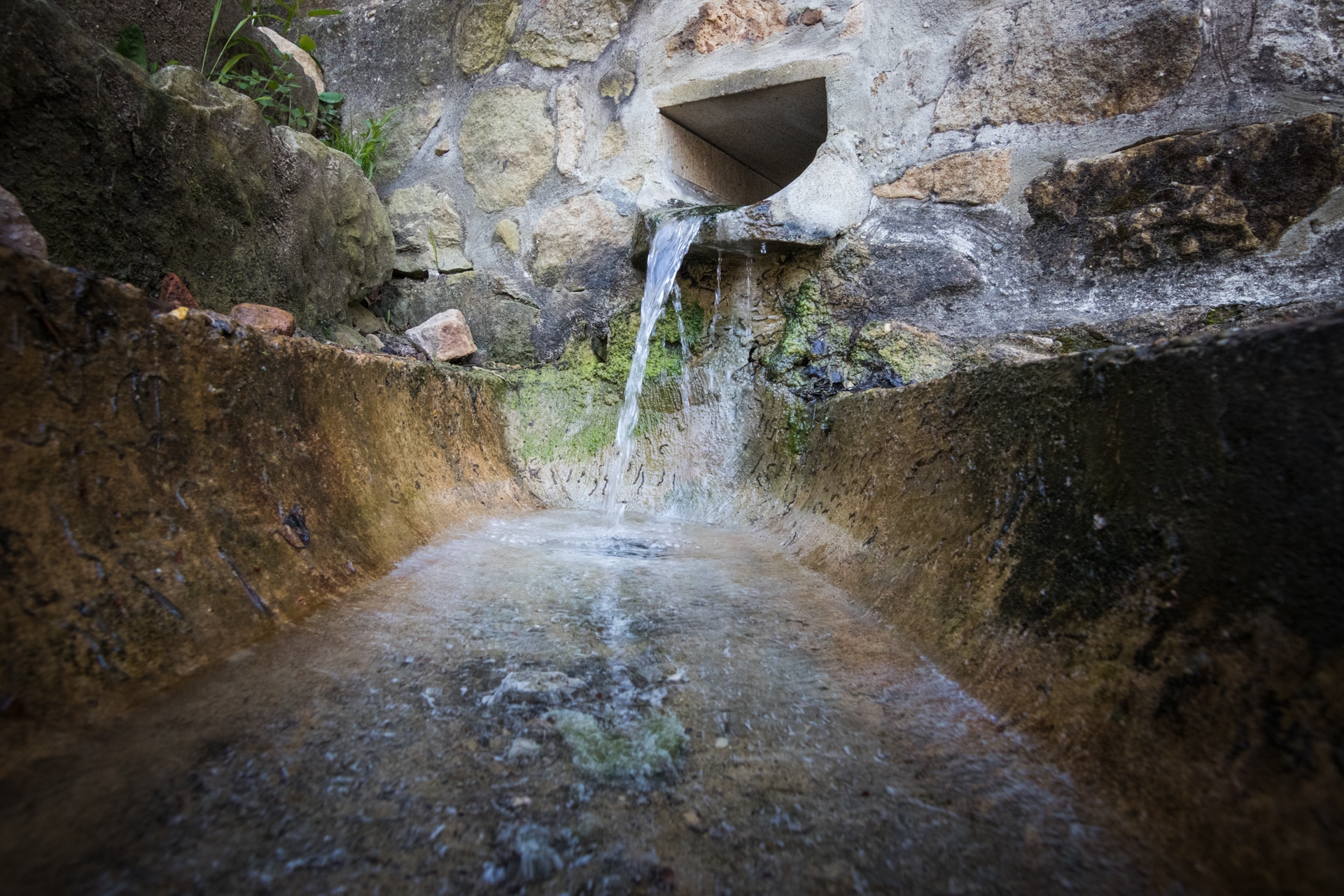
There are many points of interest that you can visit following these paths, and some of them can be accessed by bicycle. One of them is the Fuente del Salobral or Salogral spring, commonly called the “spring of the rotten eggs”, referring to the smell that it gives off. It was discovered in the mid-19th century by the then parish priest of Vinuesa, and its sulphur emanation is a trademark of its sulphate nature and therapeutic value. In the surroundings of the spring, a small thermal station and a little hotel were built back in the day. The spring waters got awarded at a Philadelphia exhibition and they were highly recommended for skin conditions and as a tonic for a good digestion.
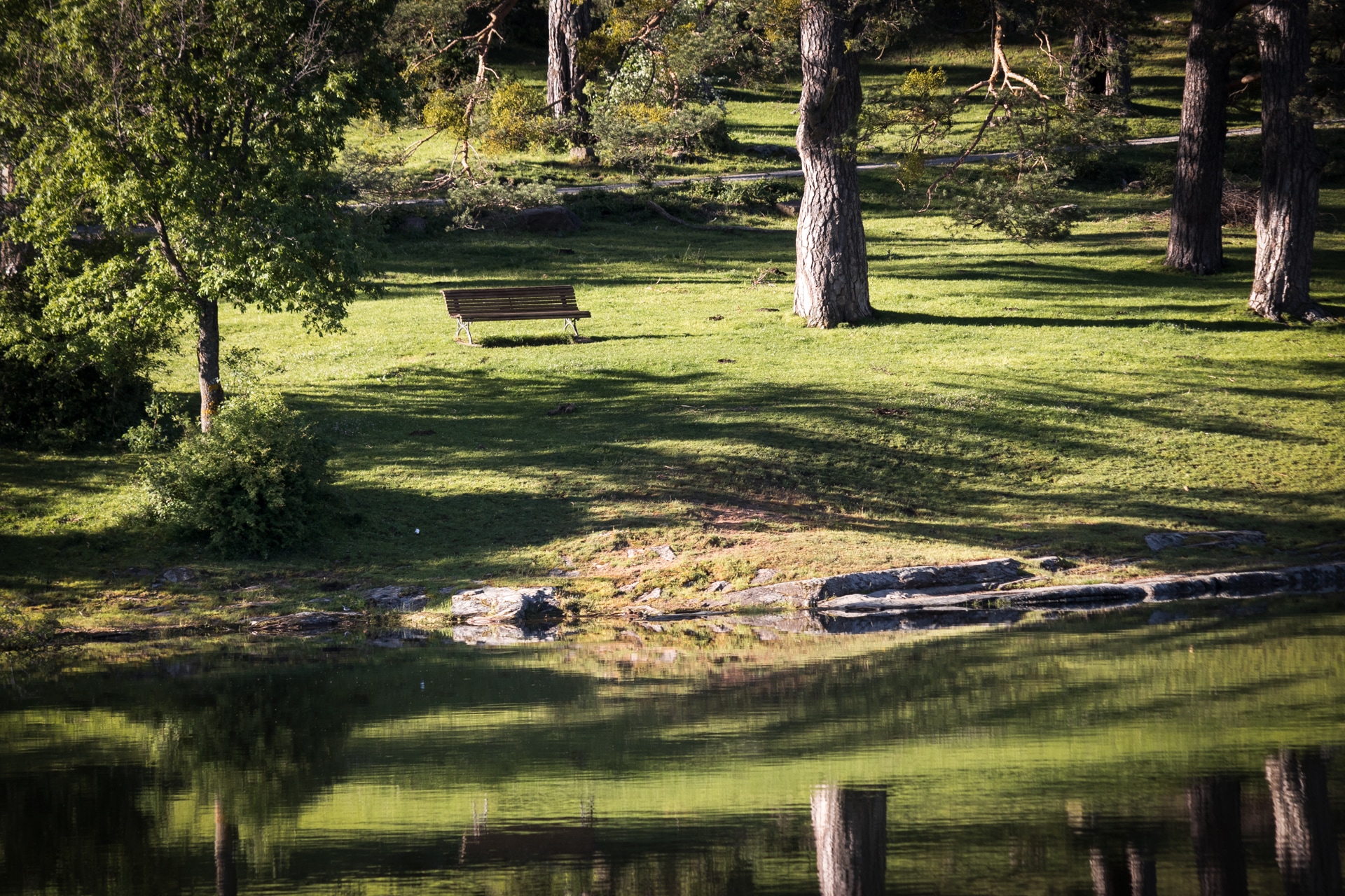
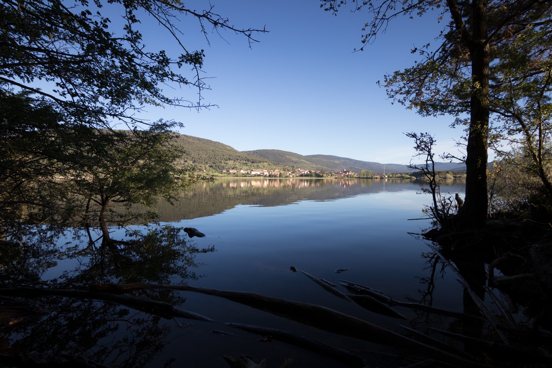
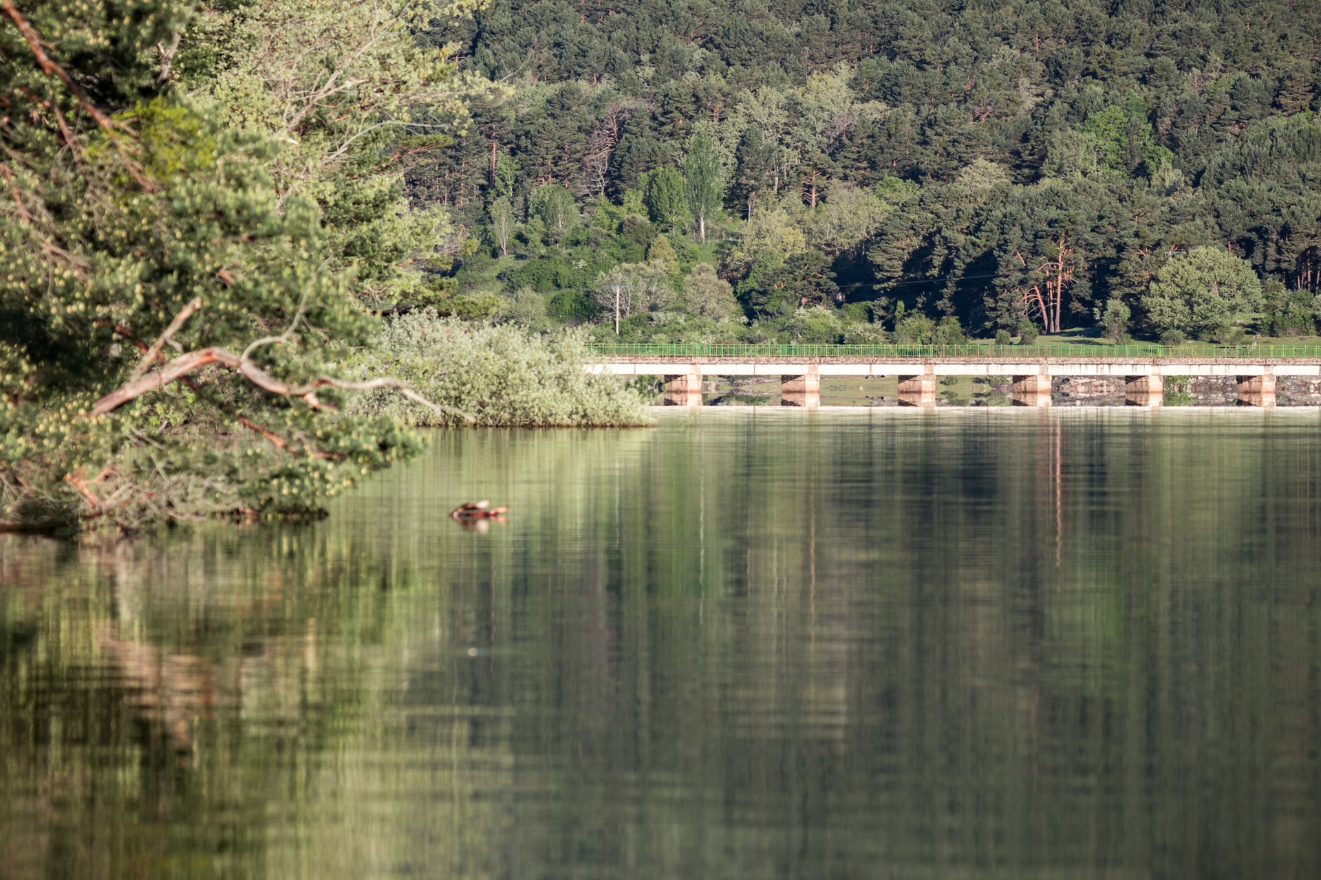
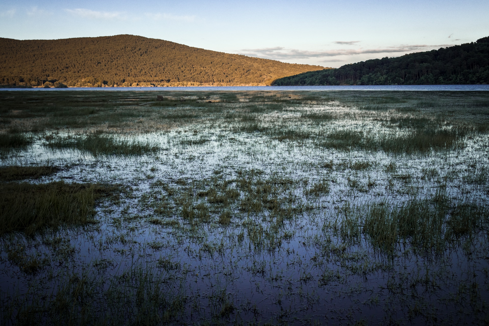
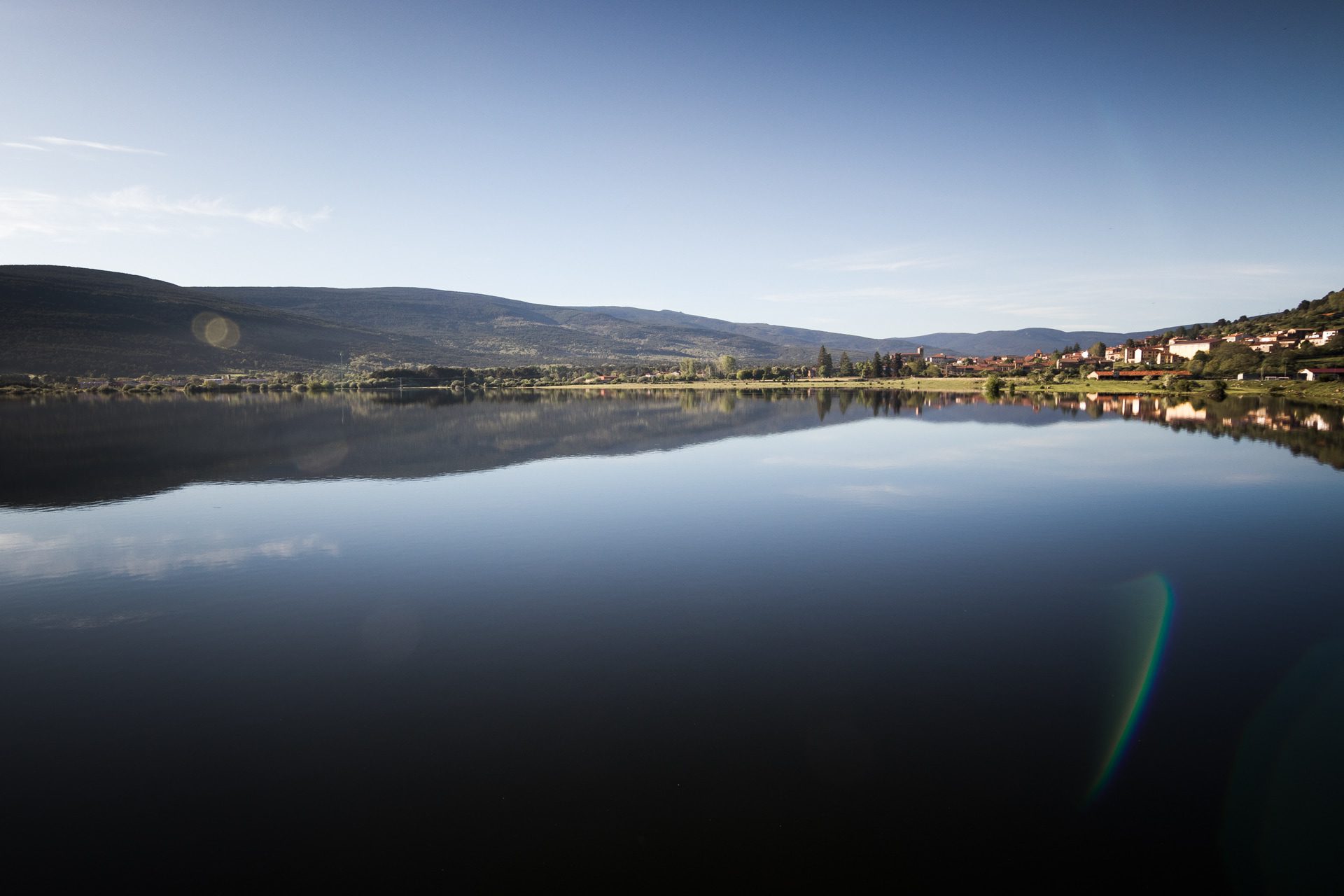
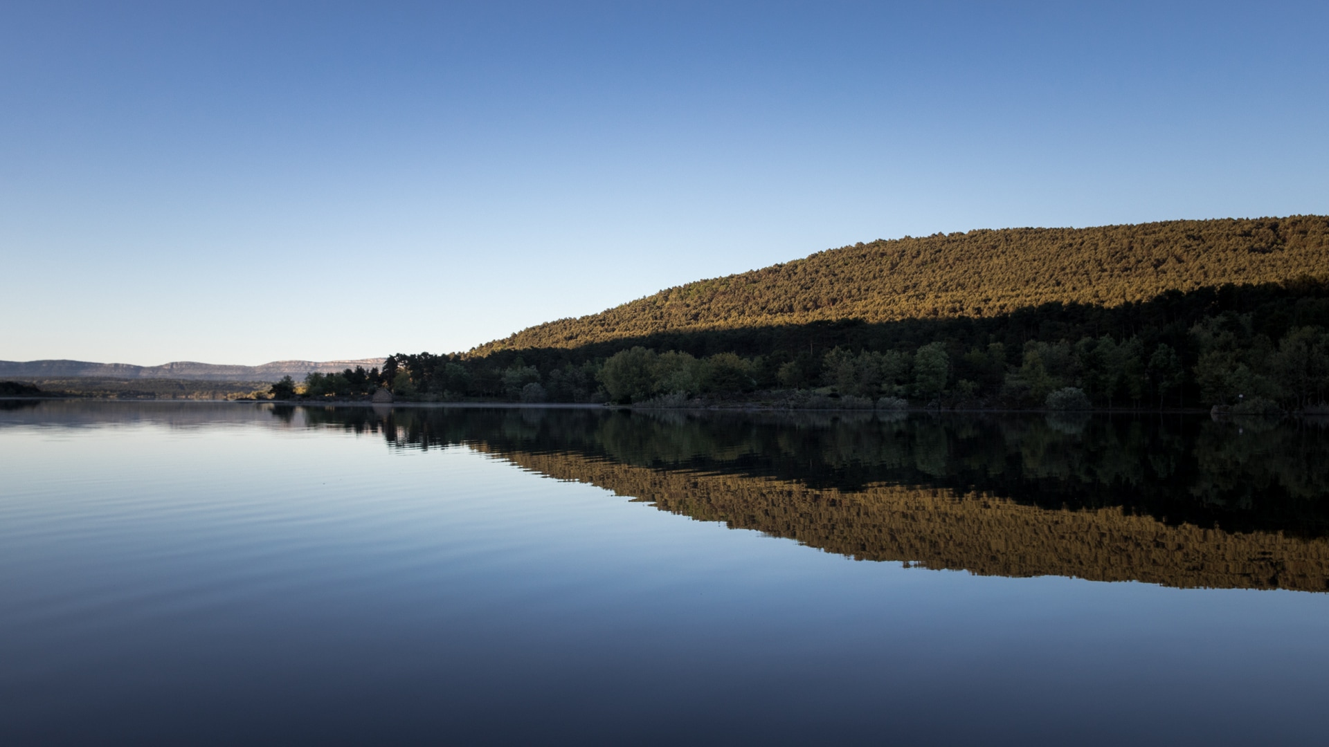
In short, this setting is marked by the presence of water and its indelible traces. The Duero river, held here by a dam, wets the beaches and spots that abound in the entire area. It is the architect of a fertile nature that, far from the dazzling features of other bathing spots, offers beauty and fertility galore. Turned into one of the main summer attractions in the region and throughout the province, this type of artificial lake is embedded in the landscape with an unusual naturalness.
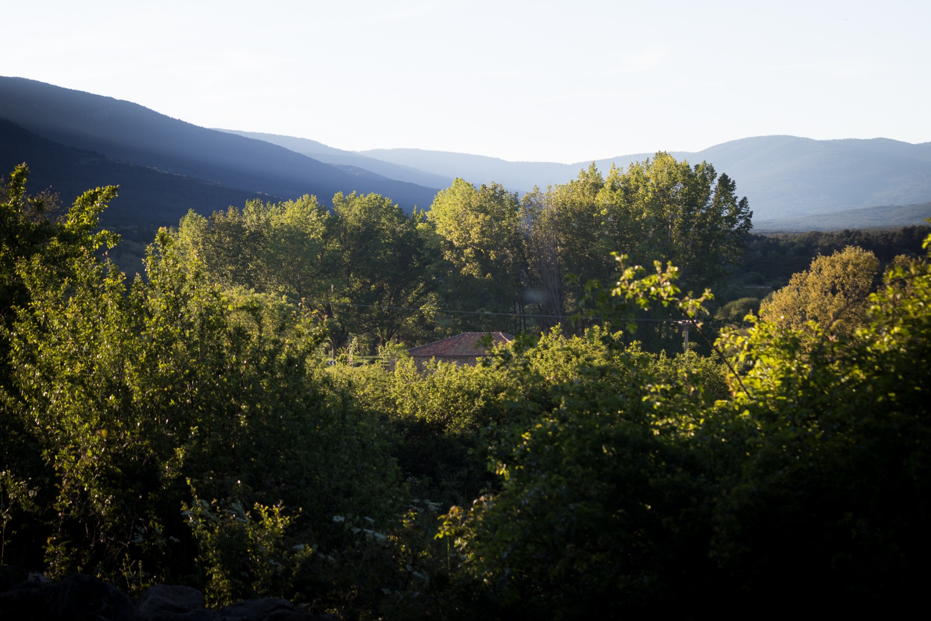
After all, here we are more than a thousand metres above sea level, in a spot bathed by rivers and brooks, where we can enjoy the peace that water brings, be it in a dam or in a stream. The path of the Duero, about fifty kilometres in the shade of riverside vegetation, starts here in Vinuesa a journey in search of the Valle del Razón, which crosses meadows, pastures and forests of intense beauty.
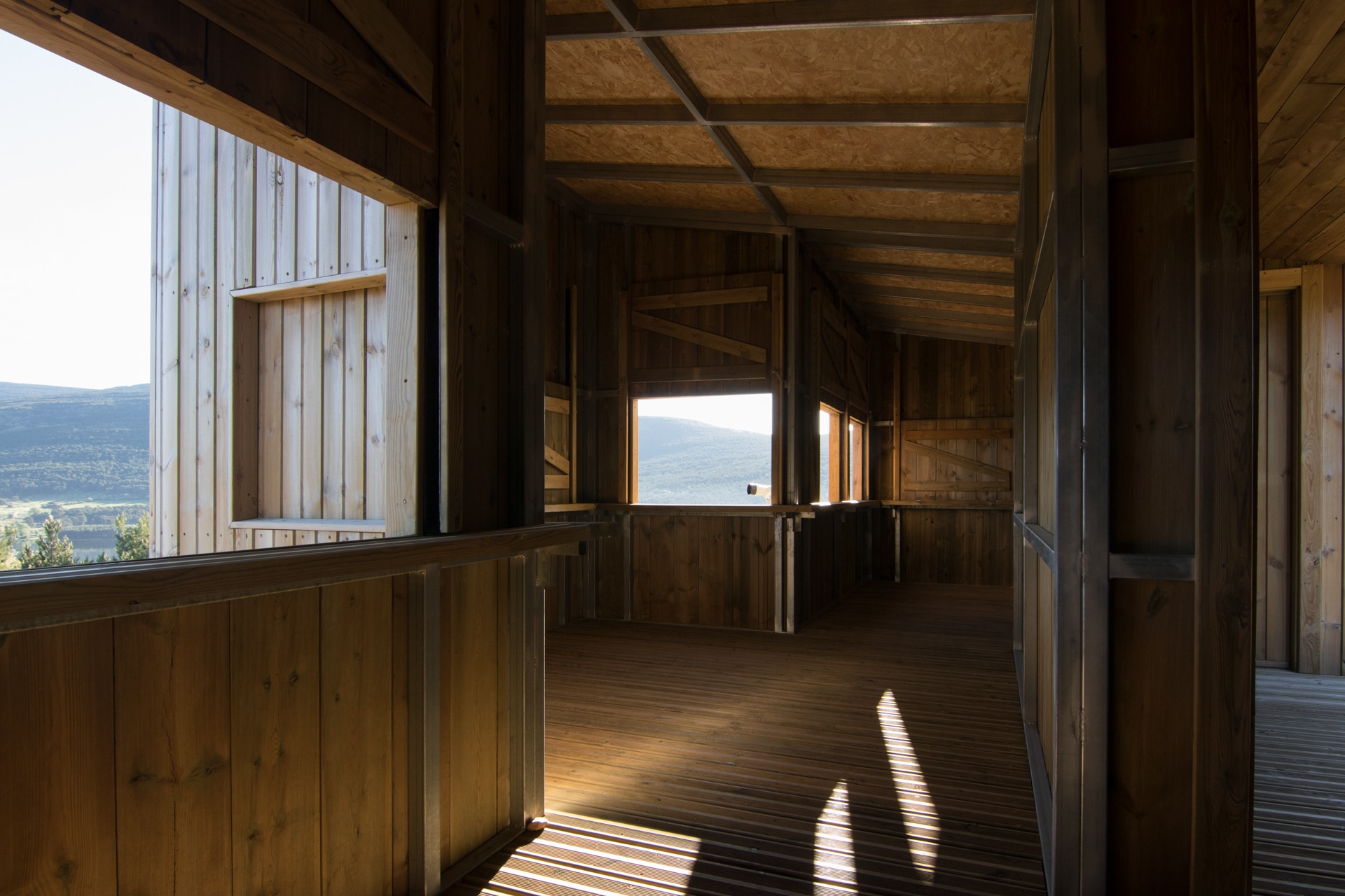
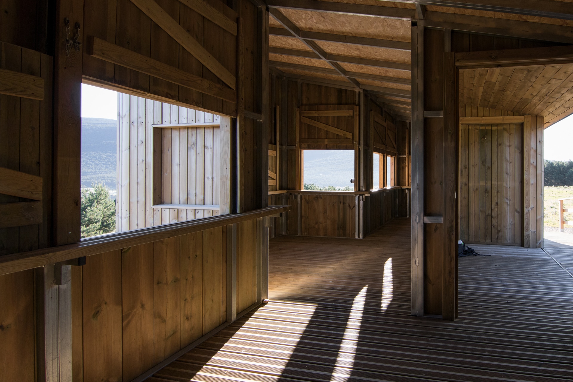
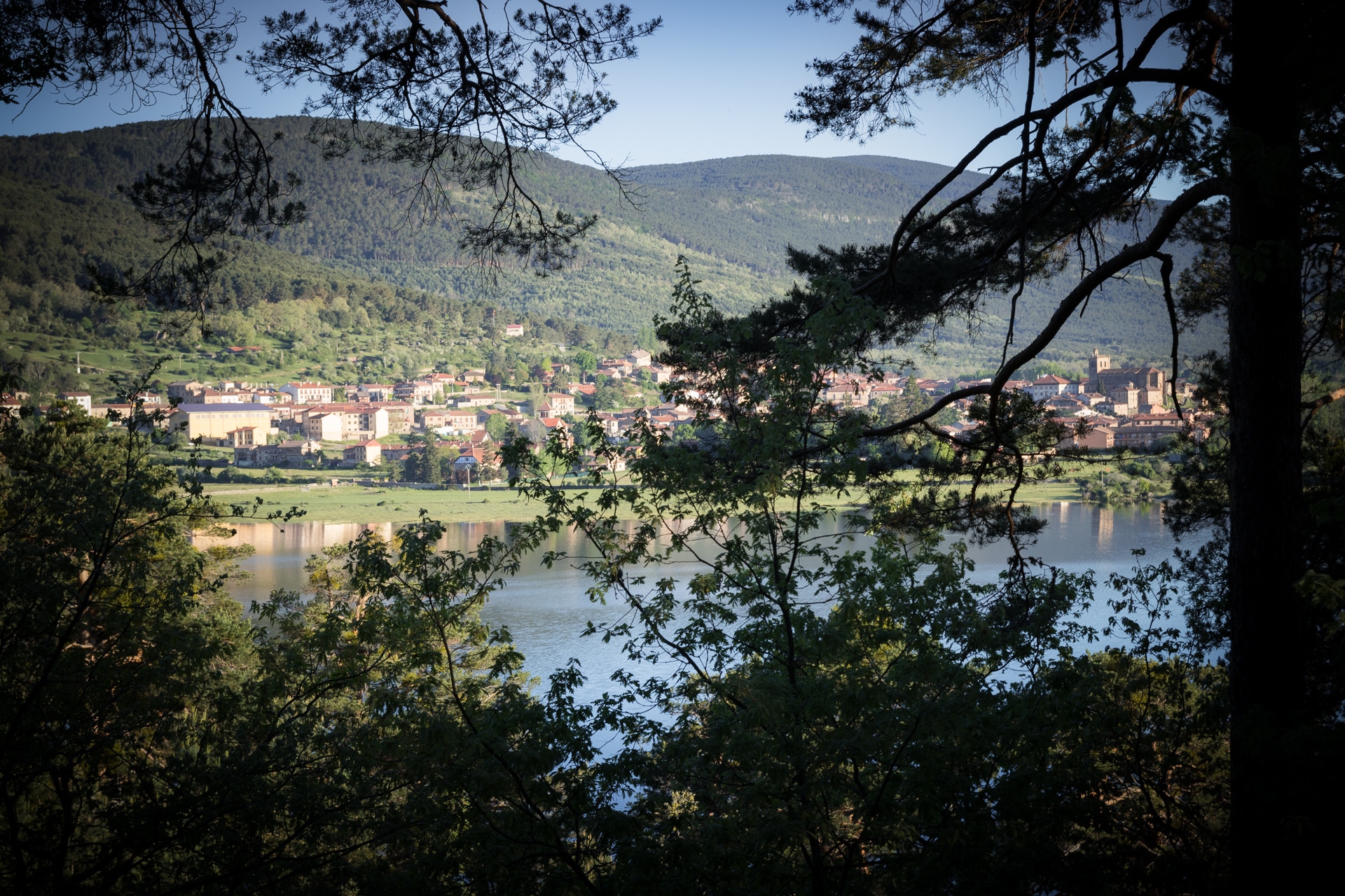
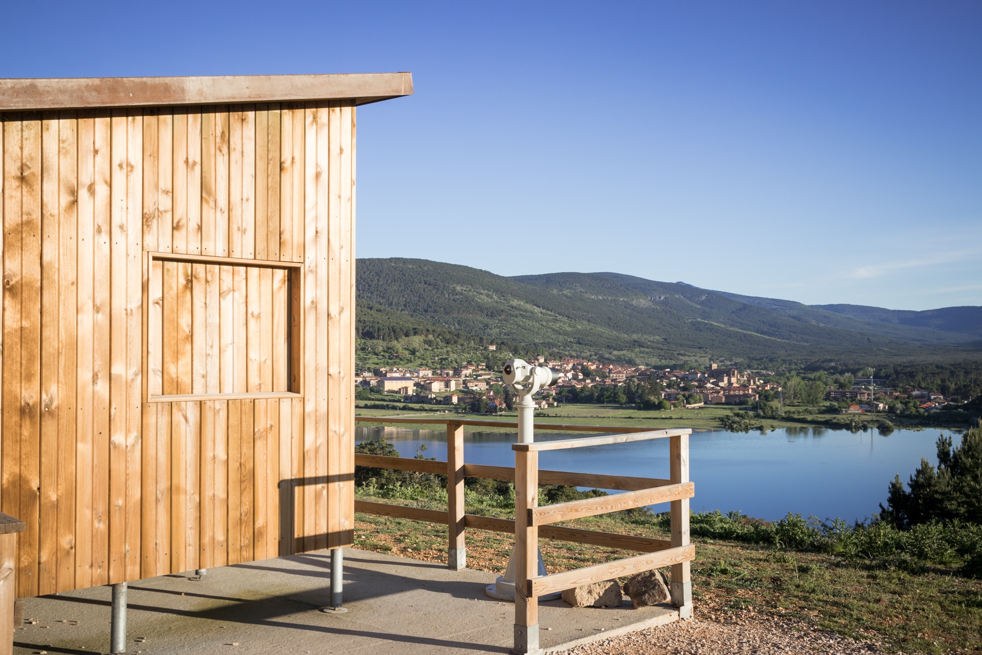
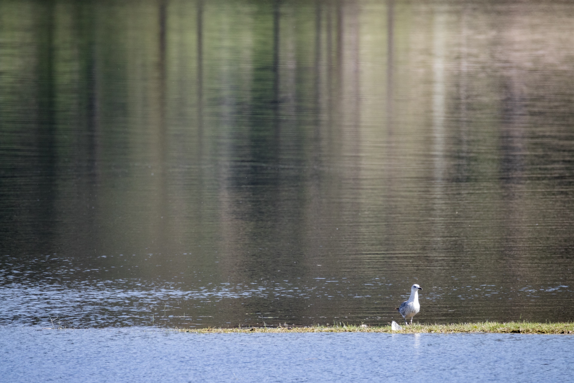
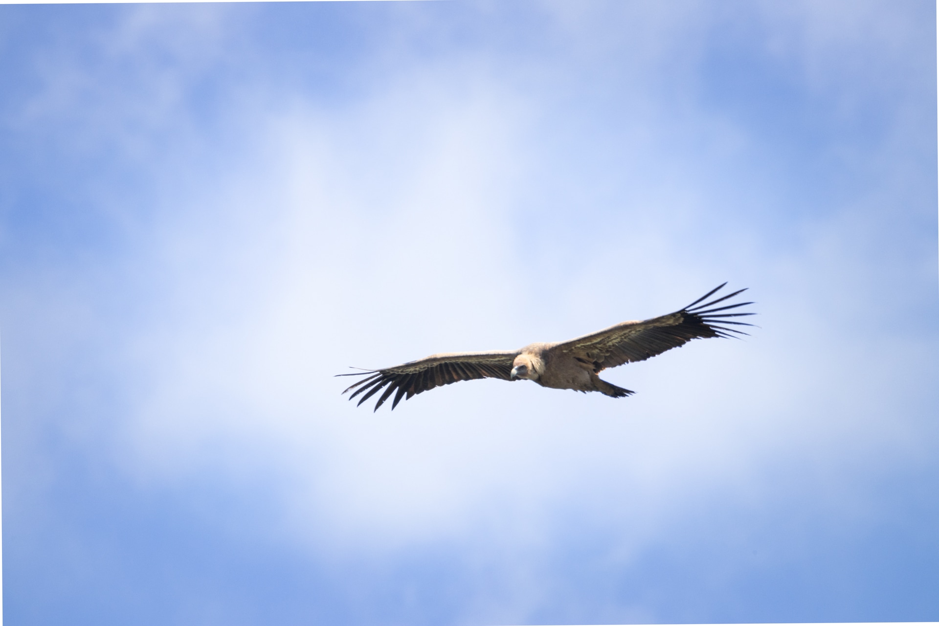
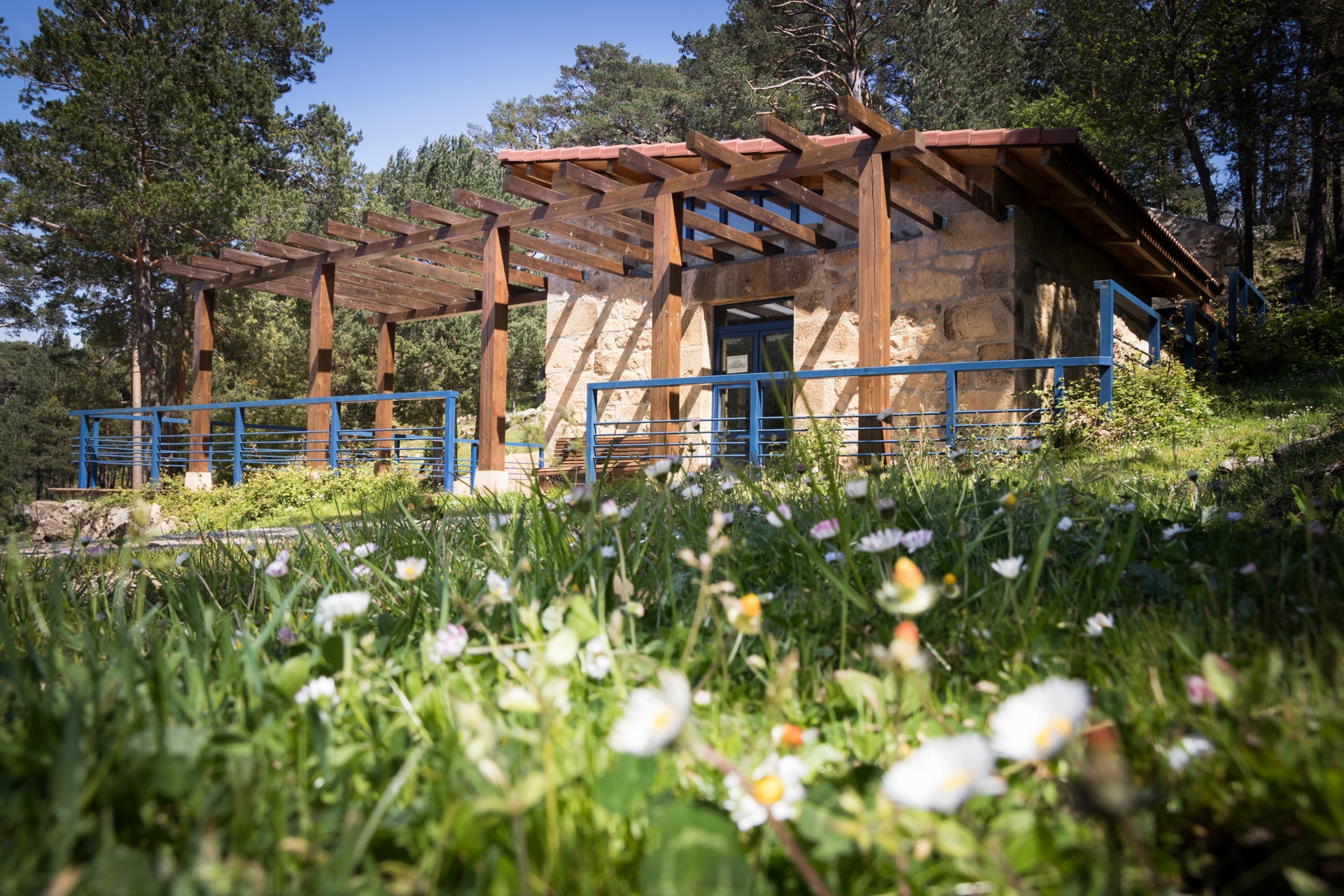
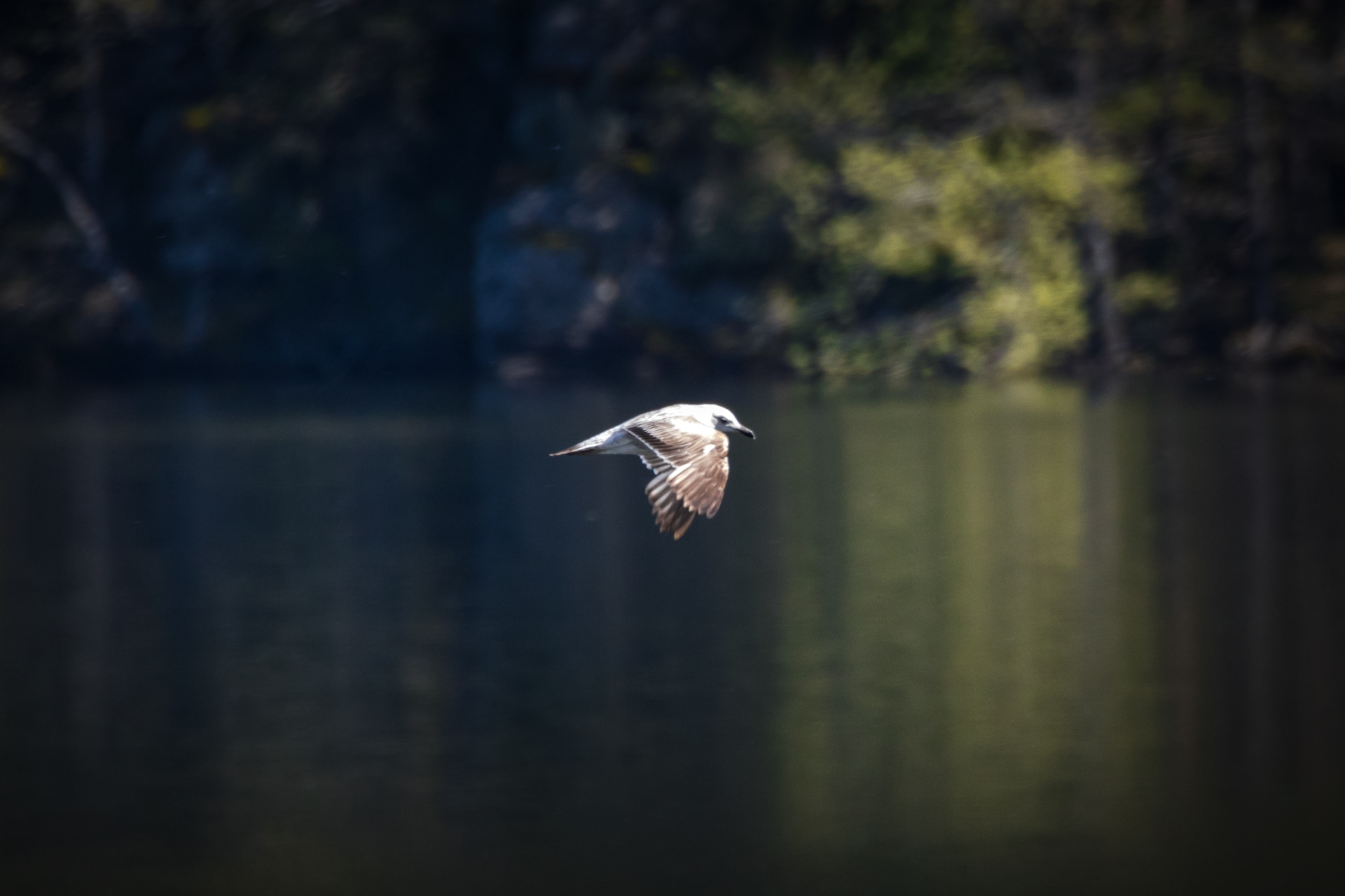
On the same bank, a few metres away from the hermitage, a viewpoint offers a magnificent panoramic view of the village, on the other side of the reservoir. Built on an old dump, this promontory looks out over the village, its encircling pine forest and the Duero river. What is more, it also includes a wooden building that acts as a Bird Observatory. This spot, which can be accessed both by car and on foot, is of great environmental importance, partly because it is in a Special Protection Area for Birds (ZEPA, in its Spanish acronym) and a Site of Community Interest (LIC), and also because of its proximity to the aforementioned path of the Duero, the Laguna Negra (the Black Lagoon) and the Urbión glacial cirques.

With the collaboration of: